
QA/QC stands for Quality Assurance and Quality Control, which are essential practices in mining for ensuring the reliability and accuracy of data collected from quality samples, such as drill cores or blast hole samples. These processes ensure the data used for resource estimation and mine planning is valid, consistent, and meets required standards. In this chapter we will learn about QA/QC of samples in mining and their application in surpac application.
What is QA/QC?
- Quality Assurance (QA):
- Focus: Preventing errors by creating robust procedures and guidelines.
- How: Setting protocols for sampling, data collection, and data validation.
- Example: Ensuring proper drilling techniques, consistent sampling intervals, and the use of certified laboratories.
- Quality Control (QC):
- Focus: Detecting and correcting errors in the data.
- How: Conducting tests, comparisons, and validations on the samples and their analyses.
- Example: Including duplicate samples, blanks, and certified reference materials (CRMs) during analysis.
Why is QA/QC Important in Mining?
- Accurate Resource Estimation: Ensures the deposit is correctly modeled.
- Regulatory Compliance: Satisfies reporting standards like JORC or NI 43-101.
- Risk Mitigation: Reduces the risk of poor mine planning due to unreliable data.
- Cost Efficiency: Prevents costly errors by ensuring only quality data is used.
Steps in QA/QC of Quality Samples
- Sample Collection:
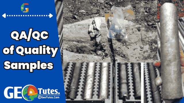
- Collect drill core or rock samples following standard procedures to ensure representativeness.
- Avoid contamination during collection.
- Sample Preparation:
- Prepare samples (crushing, splitting) while maintaining consistency and preventing sample loss.
- QA Protocols:
- Define standards for handling and testing samples, such as:
- Inclusion of duplicates (to check repeatability).
- Use of blanks (to detect contamination).
- Insertion of CRMs (to check lab accuracy).
- Define standards for handling and testing samples, such as:
- QC Checks:
- Analyze the results to verify:
- No bias in the assay results.
- Accuracy of grades within acceptable error limits.
- Use statistical methods, such as scatter plots and regression analysis.
- Analyze the results to verify:
- Data Validation:
- Validate the results against expected patterns or historical data.
- Identify outliers or inconsistent results.
Application of QA/QC in Surpac
GEOVIA Surpac is widely used for geological modeling and resource estimation. QA/QC plays a significant role in ensuring reliable input data. Here’s how QA/QC integrates into Surpac:
1. Importing and Validating Data:
- Import assay and geological data into Surpac.
- Use validation tools to:
- Check for missing data or errors.
- Identify outliers in assay results.
- Example: Validate sample coordinates to ensure they match drill hole locations.
2. Data Analysis:
- Check for Accuracy:
- Generate scatter plots of duplicates to analyze repeatability.
- Identify trends or deviations in QA/QC samples (e.g., blanks or CRMs).
- Use Surpac’s reporting tools to generate statistical summaries.
3. Handling QA/QC Samples:
- Blanks: Ensure low or zero-grade assays for blanks to confirm no contamination.
- Duplicates: Compare original and duplicate assays using:
- Absolute Difference (%).
- Coefficient of Variation (CV).
- CRMs: Verify that certified reference materials fall within acceptable grade ranges.
4. 3D Visualization:
- Visualize QA/QC results spatially in 3D:
- Example: Plot QA/QC samples along drill holes to identify problem zones.
- Highlight sections where data quality may be compromised (e.g., outliers).
5. Statistical Analysis for Resource Estimation:
- Apply QA/QC filters:
- Use only validated data for grade interpolation or block modeling.
- Exclude suspect or invalid data.
- Generate histograms, probability plots, and statistical summaries of QA/QC data to ensure data integrity.
6. Reporting:
- Surpac can generate QA/QC reports for regulatory compliance and internal audits.
- Include graphs, tables, and spatial plots of QA/QC data.
Step-by-Step Example in Surpac:
- Import Data:
- Go to File > Import Data and load your sample data (e.g., drill hole assays).
- Validation:
- Open Drillhole Database > Validate.
- Check for:
- Missing assays.
- Overlapping intervals.
- Invalid coordinates.
- QA/QC Analysis:
- Plot duplicates:
- Use the Scatter Plot tool to compare original vs. duplicate assays.
- Analyze blanks:
- Filter blank samples and plot results to ensure no contamination.
- Verify CRMs:
- Compare CRM results against certified values.
- Plot duplicates:
- Data Correction:
- Identify and remove outliers using Surpac’s data editor.
- Visualization:
- Use 3D Viewer to display QA/QC data alongside drill hole traces.
- Color-code samples based on QA/QC categories (e.g., valid, suspect, invalid).
- Generate Reports:
- Use Output > Generate Reports to document QA/QC results.
Understanding QA/QC of Quality Samples in Mining and Their Application in Surpac With A Simple Example
Imagine you’re baking cookies:
- You taste some dough to ensure it’s sweet (QA).
- While baking, you check a few cookies from each batch to ensure they’re properly cooked (QC).
In mining, QA/QC ensures the “dough” (sample data) used to “bake” (model) the deposit is accurate and reliable
